Study | Counting deer from the sky: drones in steep terrain
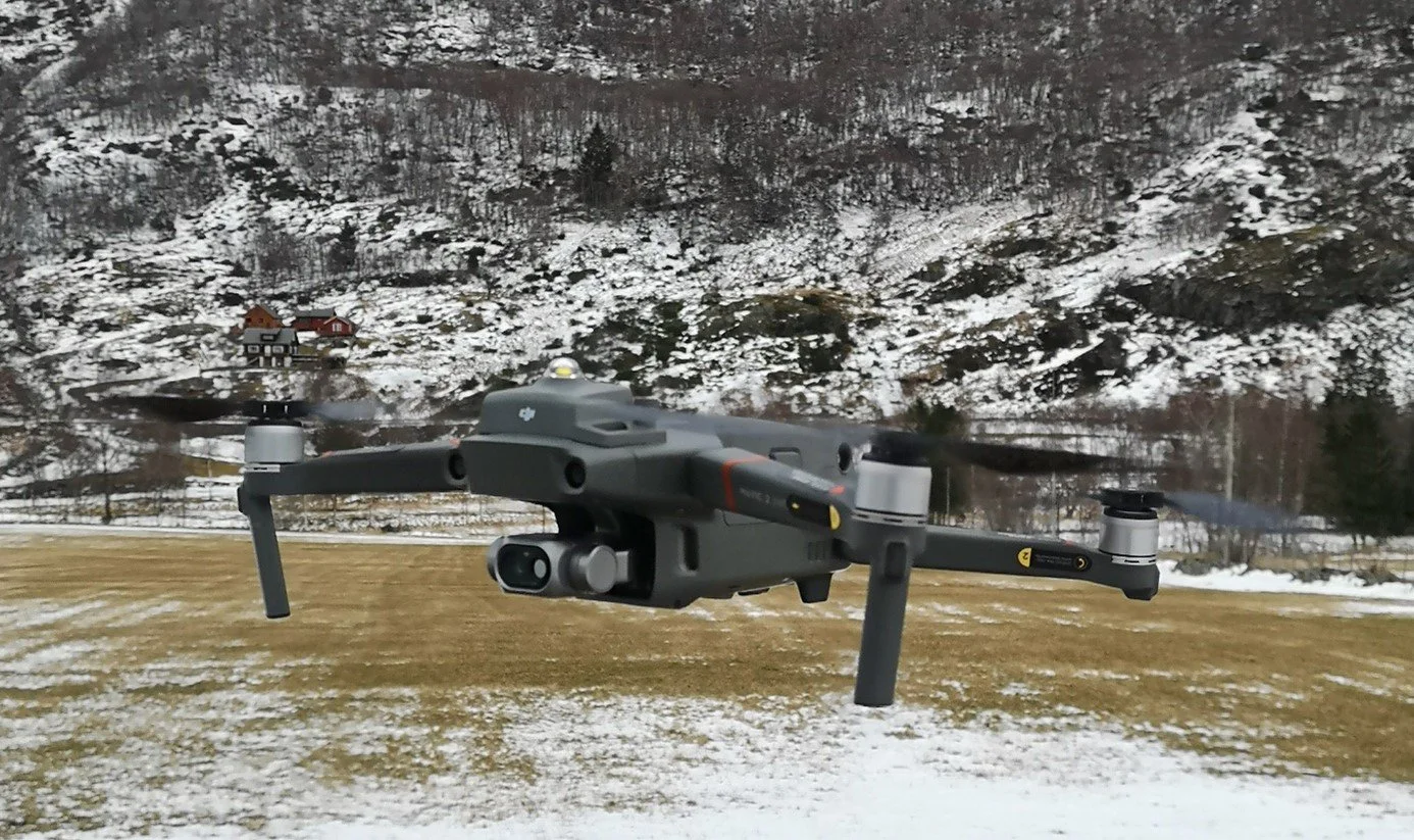
Figure 1. One of the three drones we used in the project.
For species like red deer (Cervus elaphus), obtaining precise and accurate population estimates is essential for management.
Yet traditional survey methods often struggle in exactly the kinds of landscapes where these animals thrive. In our recent study now published in Wildlife Biology, we explored how unmanned aerial vehicles (UAVs) (Fig. 1) can be used to estimate absolute population density of red deer in such challenging environments (Bommerlund et al. 2026).
We used UAVs to collect aerial imagery across multiple study areas in Lærdal, western Norway. The surveys were conducted during late winter and early spring – before leaf cover emerged – to maximize visibility. The UAV flew at around 60 meters above ground, capturing images of predefined sampling plots from multiple angles. To identify deer in the images while also accounting for imperfect detection, we applied a double-observer approach, where detections were manually and independently recorded by two observers and later compared. We then used hierarchical state-space models in a Bayesian framework to estimate deer density and quantify uncertainty.
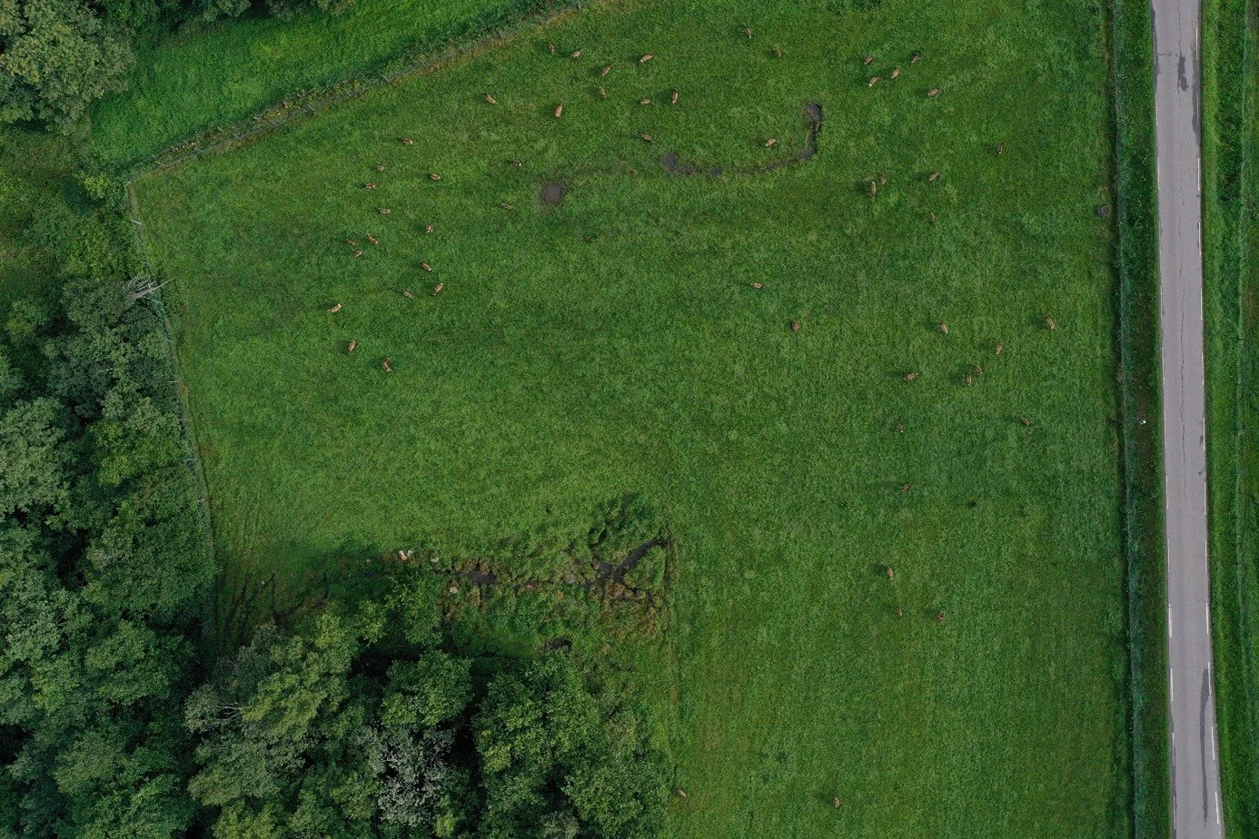
Figure 2. Areal image
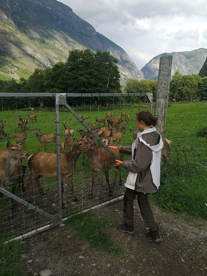
Figure 3. Tame deer in Lærdal
Behind these methods lies a fair amount of field logistics. During the main field campaign, we stayed in a cabin in Lærdal, organizing our days around the weather. Some days allowed several UAV flights; others grounded us completely. The project also included earlier pilot work. In late summer prior to the main study, we tested how tame deer responded to the UAVs in Lærdal (Fig. 2 & 3). We also spent time at the Finse Research Station, where the focus was more practical: getting familiar with the equipment and testing various flight planning apps.
Practice and patience are essential when testing new methods
Our results show that UAV-based surveys can be used to estimate absolute red deer density, even in rugged, steep, and partly forested landscapes. Although uncertainty around the estimates was high, the method still provided some meaningful insights. For example, in two of the study areas, we saw that even the lower bounds of the estimates exceeded management target densities, at least locally (Fig. 4). In addition, we found that availability bias was negligible when areas were surveyed using multiple images from different angles, but that detection probability by a single observer was clearly below one.
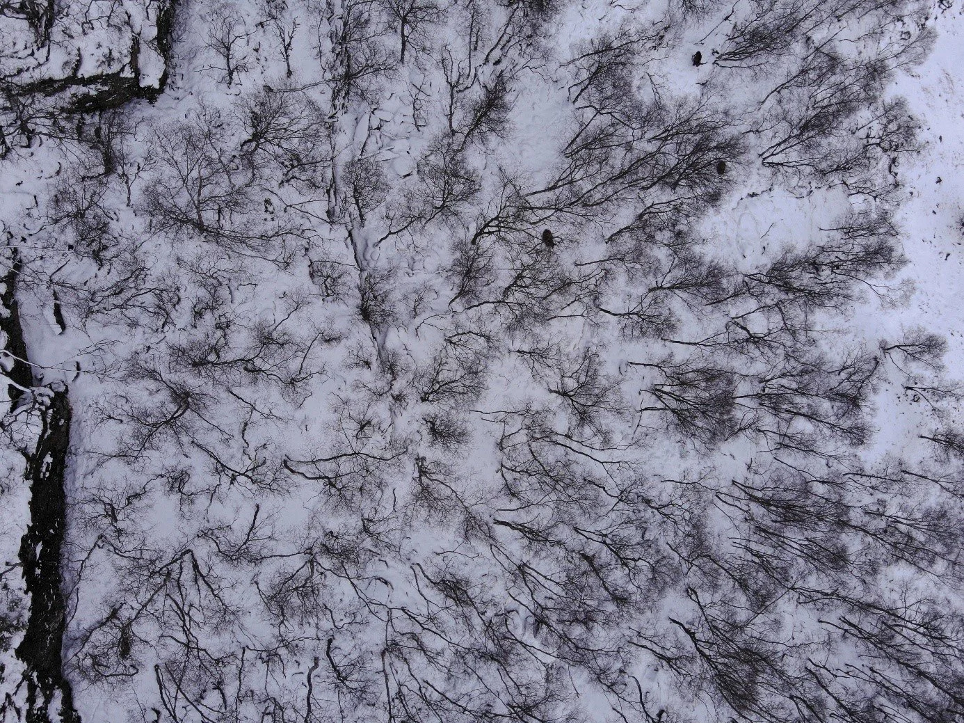
Figure 4. Image of a sampling site – at least three red deer with antlers are present in the photo.
Unsurprisingly, the steep and unpredictable terrain created several challenges, including three UAV crashes (Fig. 5). In one case, landslide danger delayed retrieval of the UAV for months. However, the key challenge created by the terrain, and highlighted by our study, is spatial variation. Deer densities varied substantially across the landscape and between scales. Capturing this variation requires surveying large areas with many sampling sites – something that can quickly become resource-intensive.
A challenging terrain for a challenge in monitoring and surveying
This again emphasizes an important trade-off: while UAVs provide powerful new opportunities for wildlife monitoring, obtaining precise estimates still requires considerable effort in both data collection and analysis.
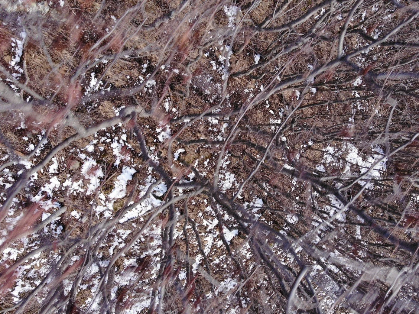
Figure 5. The last photo taken by one of the drones before it crash-landed.
Ecography—who are we?
ECOGRAPHY: A Journal of Space and Time in Ecology is an Open Access journal owned by the Nordic Society Oikos.
Our journal strives to understand ecological or biodiversity patterns through space and time. We encourage papers to advance the field of macroecology and biogeography through the development and testing of theory or modern methodology (remote sensing, molecular techniques, AI) or by proposing new tools for analysis or interpretation of ecological phenomena. There are no biases with regard to taxon, biome, or biogeographical area.
Thinking about publishing with us?
Ecography offers an annual E4 Award for early-career researchers
We value ethical standards in science (EDI, Open Access, waivers, accessible data and code, CRediT)
Check out Ecography’s journal metrics and see our Author Guidelines
Our journals, our society—join us!
The Nordic Society Oikos engages the global scientific community through five international journals…

…and supports the national ecological societies of the five Nordic countries. Anyone worldwide can join the Nordic Society Oikos.
NSO is a home for ecologists, a nexus for knowledge, and a guiding light for ecology worldwide. We are an active network of ecologists in the Nordic region and around the globe.
Why join NSO? Membership benefits include:
Connections across a global community of ecologists and five national societies
NSO newsletters with member-only updates about Nordic ecology and society activities
Ongoing opportunities for promotion on NSO’s digital platforms and social media channels
Discounted registration for NSO’s biennial conference
Eligibility to apply for NSO Grants
Each member receives additional benefits from one of our five national societies:
When you join NSO, you also become a member of one of our national societies. Which one? That’s up to you! Each national society provides its own benefits, including discounts to national conferences. Learn more about us at nordicsocietyoikos.org.
Danish Oikos Society
Oikos Finland
Icelandic Ecological Society
Norwegian Ecological Society
Swedish Oikos Society